Iceland lies astride the Mid-Atlantic Ridge. As its name implies, the
Mid-Atlantic Ridge is a massive mountain range that runs north-south under the
midline of the Atlantic Ocean. It is almost entirely below sea level, but its
crest briefly rises above sea level near Greenland, forming the island we call
Iceland.
Geologists call the Mid-Atlantic Ridge a spreading center, which means that an
upwelling from below causes two tektonic plates to drift apart. This activity
causes many interesting geological phenomena, such as volcanoes, geysers,
fumaroles, hot springs, and more. It's like Yellowstone National Park on
steroids. It gives geologists a glimpse of things that happen on a much larger
scale on the bottom of the Atlantic Ocean but remain unseen.
Politically, Iceland is a country. Its population is very small, only about
320,000, over half of whom live in or near the capital and principal city,
Reykjavik. Though an island, it is considered part of Scandinavia because its
history and cultural heritage are tightly interwoven with Scandinavia. The
Icelandic language is very similar to Norwegian.
I have always been fascinated by Iceland and have wanted to go there for over
30 years. In June 2013 I finally got the chance. This page is a photo essay
of that experience.
The volcanic nature of the island was evident from the minute I arrived.
The entire island is all but treeless, and its soil is mostly a dark coarse
sand. When rocks and boulders are present, their surface is extremely rough
and abrasive, like sandpaper.
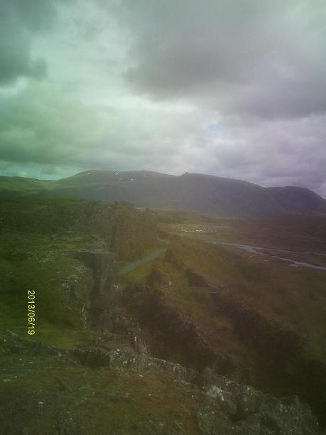
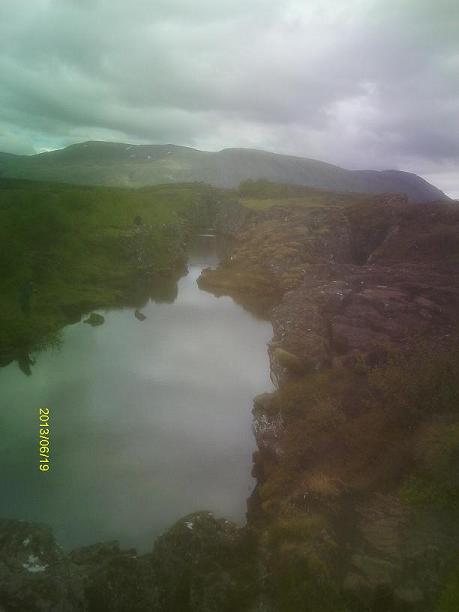
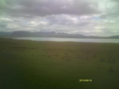
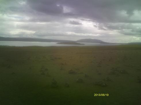
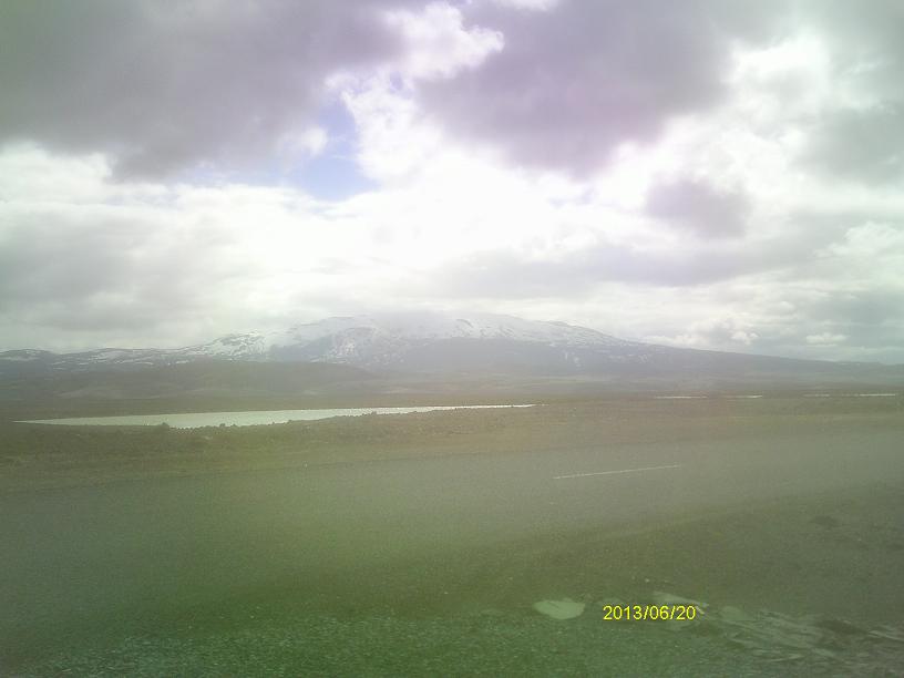
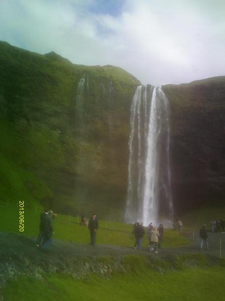
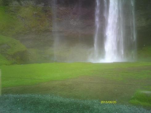
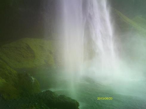
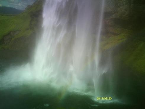
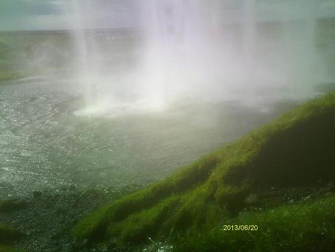
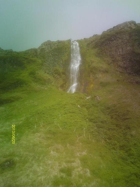
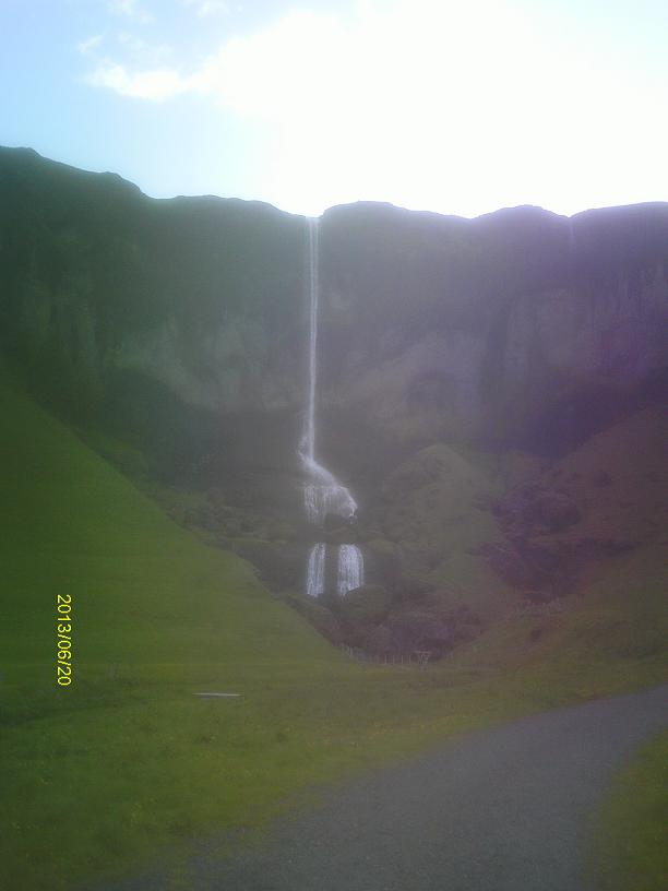
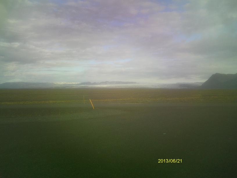
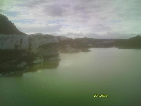
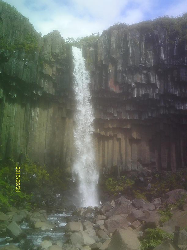
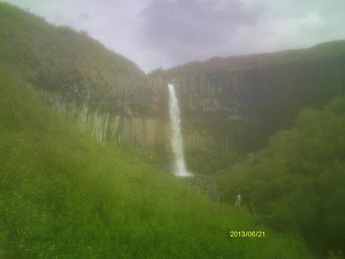
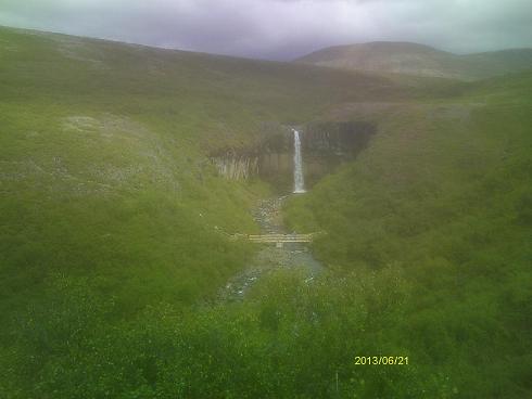
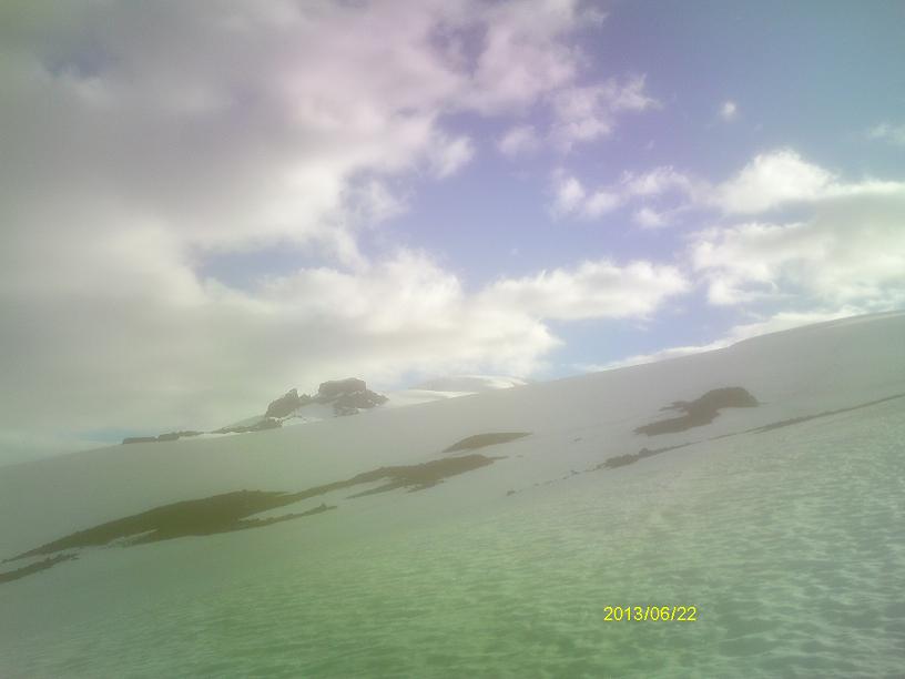
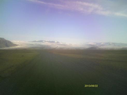
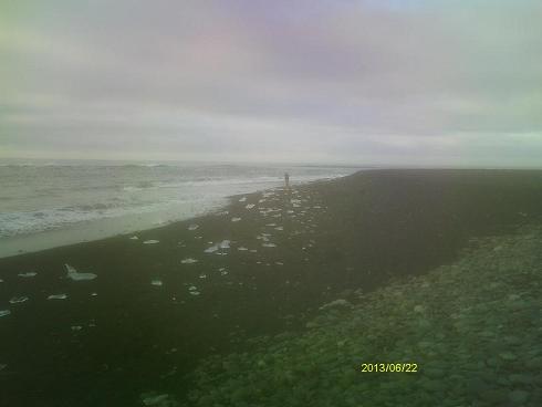
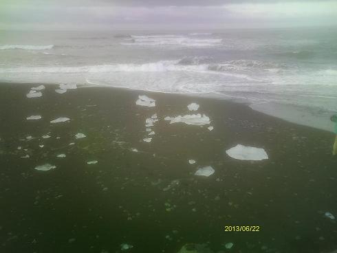
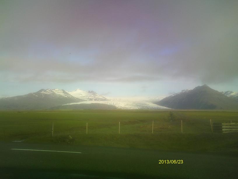
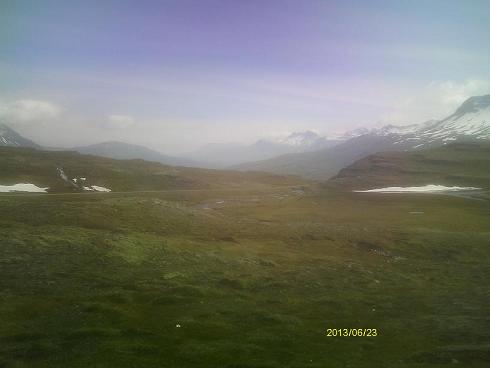
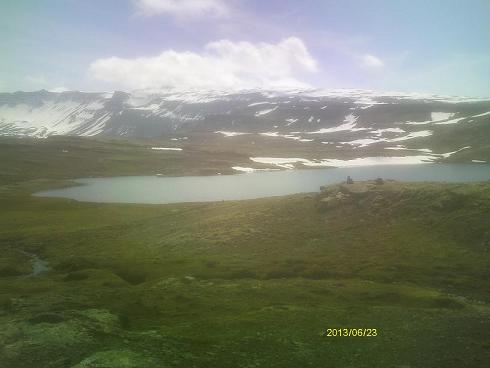
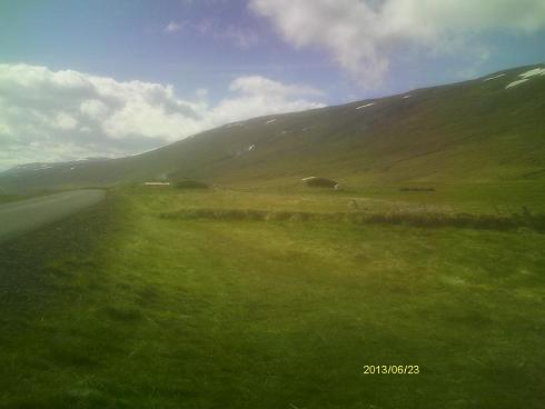
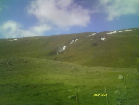
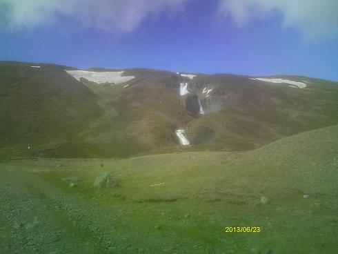
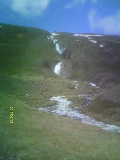
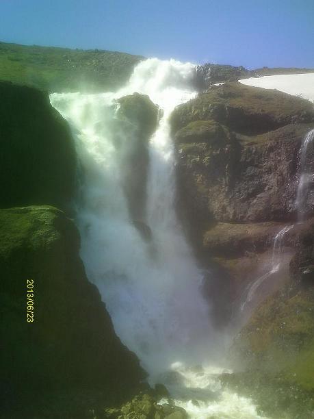
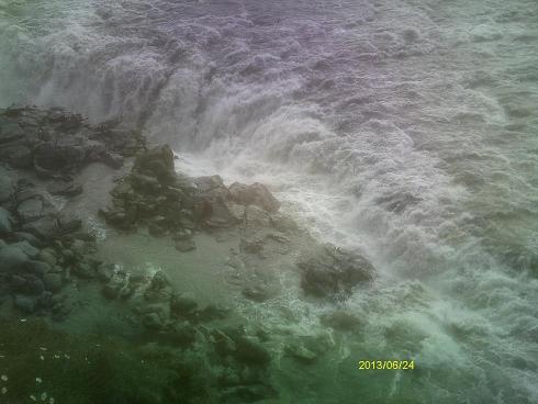
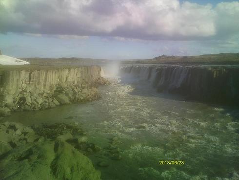
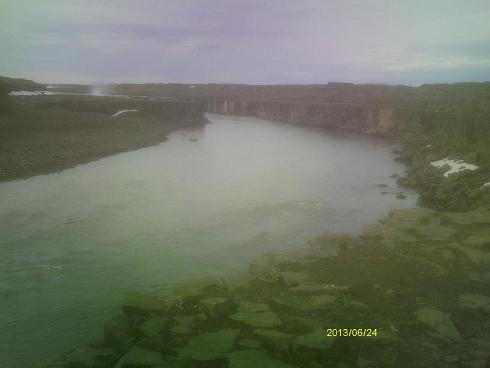
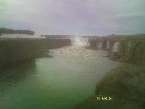
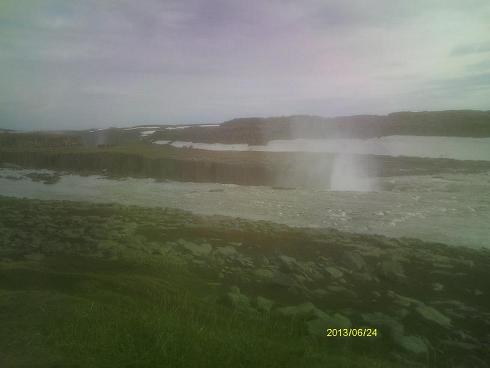
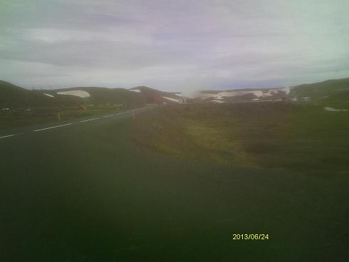
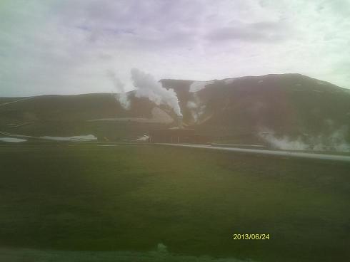
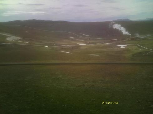
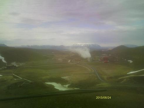
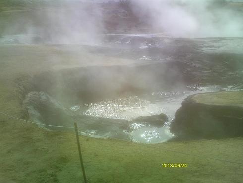
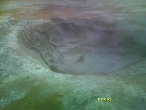
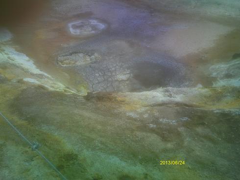
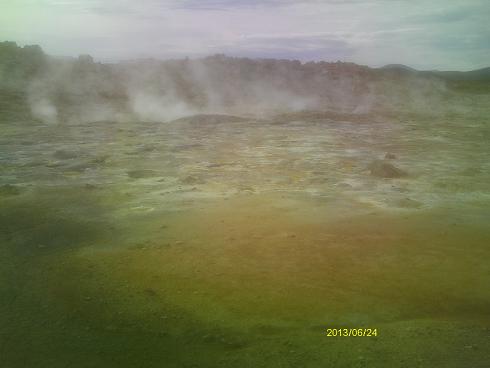
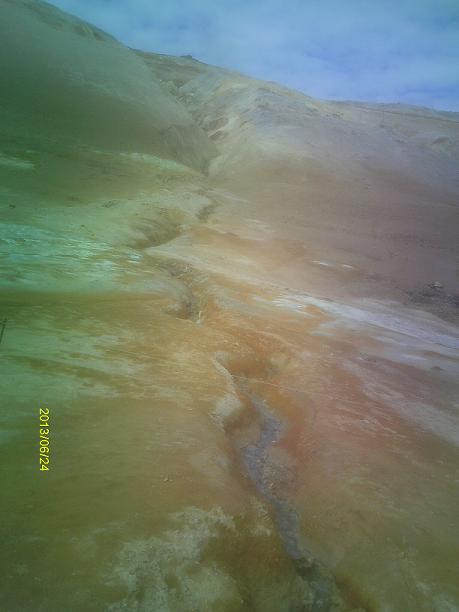
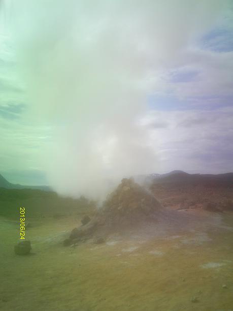
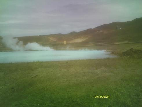
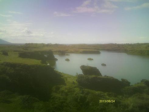
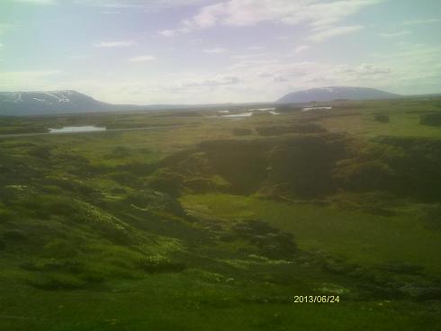
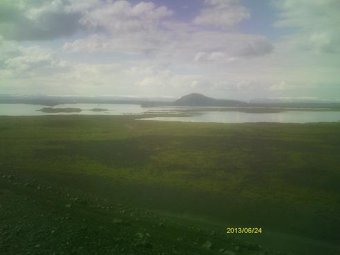
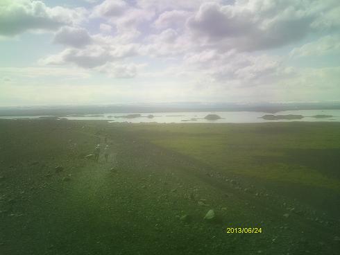
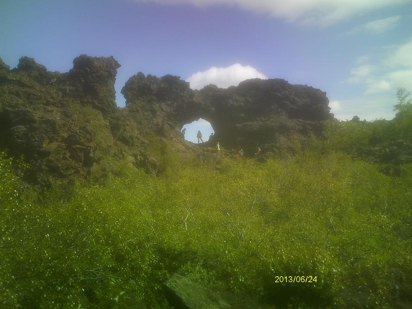
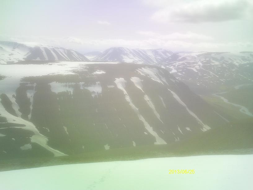
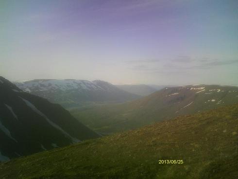
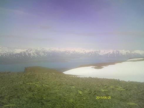
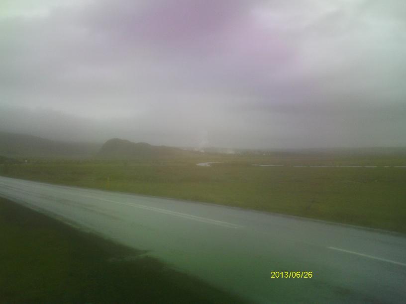
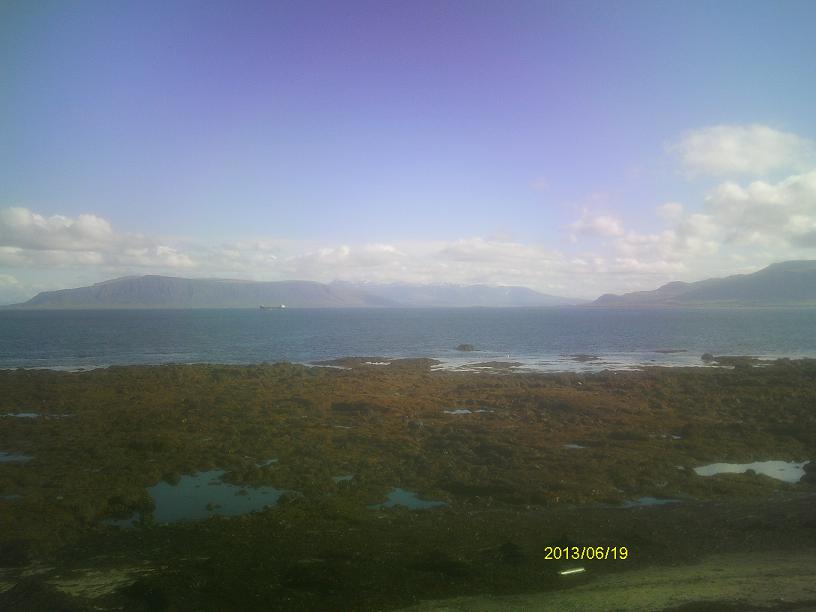
Typical Icelandic scenery near Reykjavik
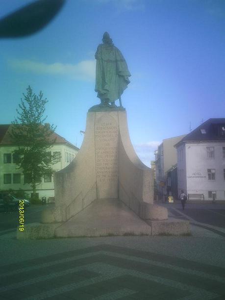
Leif Eiricsson statue in downtown Reykjavik
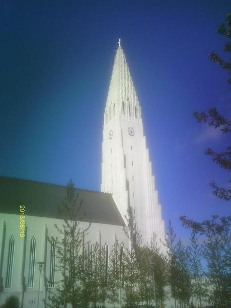
Hallgramskirkja, a Lutheran church in downtown Reykjavik.
This is Reykjavik's most prominent landmark.
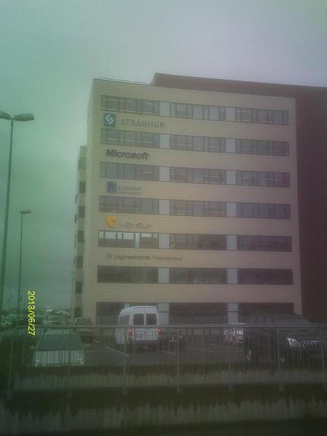
Microsoft has a presence in Iceland. It is
somewhat ironic that the spelling is unchanged since the letter c is
not in the Icelandic language alphabet.
But, Microsoft is not the only trademark in
Iceland with letters not native to the language.
Þingvellir is a place where the separation of two tektonic plates is
particularly evident by the giant fissures in the ground. "Þ" is the
Icelandic letter Thorn, which is pronounced like a soft "th" in English.
Þingvellir is also where Iceland's Parliament was founded in the year 930 A.D.
Views of tektonic spreading fissures around Þingvellir
Views of Þingvallavatn, the largest lake in Iceland, near Þingvellir
The second day I was in Iceland, I climbed Hekla, the most famous mountain in
Iceland. It is an active volcano; its last eruption was in 2000. That wasn't
very evident from my climb, because I climbed from the side opposite the crater.
For the peakbagging junkies who know me, Hekla's summit is 1491m (4892') above
sea level, and its prominence is 796m (2612').
Though the name "Hekla" technically means "hooded", many interpret the name as
"gateway to hell".
View of Hekla from a nearby highway
View from Hekla during the climb
The upper slopes of Hekla as seen from the climb
Just below the summit of Hekla are these tunnels in
the ice, caused by steam vents underneath.
Iceland has a wide variety of waterfalls. Although that can be said of any
group of waterfalls, I feel it is more true in Iceland than in most other
places. Since Iceland is of almost exclusively volcanic origin, many of
Iceland's waterfalls are formed where water flows over, around, or between
layers of lava. There is an endless variety of ways that can happen. If
Iceland's waterfalls were a product of deliberate human design, the person who
designed them would be heralded as having a wide variety of creative artistic
ideas.
The first Icelandic waterfall I experienced close up was Seljalandsfoss.
A tourist trail goes through an alcove behind the falls. Because of the spray
mist, a raincoat is advised when hiking this trail regardless of the weather.
It reminded me of the Mist Trail which climbs directly alongside Vernal Falls
in Yosemite.
General view of Seljalandsfoss
Close-up views of Seljalandsfoss
Rainbow in Seljalandsfoss
Looking outward from the trail behind Seljalandsfoss
a secondary waterfall near Seljalandsfoss
grotto near Seljalandsfoss
Foss á Síðu, a waterfall farther east on Iceland's south coast
I spent approximately one day exploring Skaftafell National Park on Iceland's
southeast coast. It features waterfalls and glaciers. Hidden in the highlands
of Skaftafell is the vast Vatnajökull (pronounced "VAHT-nuh-yo-kul"), which
is Iceland's largest ice cap. Many glaciers drain the Vatnajökull on all sides.
Skeiðarárjökull, one of the glaciers that drains the
Vatnajökull, which is barely visible in the distance Svínafellsjökull, another glacier that drains the
Vatnajökull
Svínafellsjökull eventually melts into a lake,
shown in these views Skaftafellsjökull, yet another glacier that drains the
Vatnajökull Views of Svartifoss, one of the more popular hikes in Skaftafell
As a very prolific mountain climber and peakbagger, one of my main objectives
in Iceland was to climb the country's highest peak, Hvannadalshnjúkur
(pronounced "'kwa-nuh-dalsh-NYOO-kur"). For the peakbagging junkies,
Hvannadalshnjúkur rises 2110m (6923') above sea level, and its prominence
equals its elevation above sea level since it is the highest point on an
island in the ocean.
Hvannadalshnjúkur is a steep ridge of ice that projects about 250 to 300 meters
(800 to 1000 feet) above the Vatnajökull.
I enlisted the services of Icelandic Mountain Guides, as did my friend and
climbing companion Duane Gilliland, who was also in the climbing party with
me. The climb is normally done in one long, strenuous day, starting near sea
level. The climb gains about 1000 meters (3300 feet) on dry ground, then we
reach the snow where we rope up, and after gaining an additional 800 meters
(2600 feet), we reach the vast expanse of the Vatnajökull. We walk across
the ice cap for a few kilometers to the summit ice ridge, which requires ice
axes and crampons to climb. We must be roped together because of hidden
crevasses; one member of our party (slightly overweight, I must say) broke
through the ice crust several times and fell partway into a hidden crevasse.
First view of Hvannadalshnjúkur View of Hvannadalshnjúkur from partway up the climb. Hvannadalshnjúkur from the east as I departed.
The summit is the blip near the left side of the glacier. Fjallsjökull, another glacier that drains the
Vatnajökull Breiðamerkurjökull, another glacier that drains the
Vatnajökull
The Breiðamerkurjökull eventually melts into a lake called Jökulsárlón,
which teems with icebergs.
Various views of Jökulsárlón. Ice from Jökulsárlón sometimes even washes up onto the beach! Visitors can take an amphibious boat tour of
Jökulsárlón. I would have loved to do that, but I didn't because the facility
was closed when I arrived, and it would be three hours before they opened. Fláajökull, another glacier that drains the
Vatnajökull Views of Breiðdalsheiði Pass, the highest point on
Iceland Highway 1, the "Ring Road" that circumnavigates the island
Driving up Jökuldalur, a valley near Eggilstaðir, I observed a number of
plumes rising from the hillside. In Iceland, the first guess about their
origin would be hot springs. On closer approach, however, they proved to be
waterfall mist.
Waterfall mist in Jökuldalur The waterfall that's the source of the mist
I took a short hike up a steep trail with a closer view
Dettifoss is the "Niagra Falls" of Iceland. Located on the Jökulsá á Fjöllum
river near Iceland's northeast coast, it is claimed to be the most powerful
waterfall in Europe. This might depend on one's definition of the "power" of a
waterfall, but a reasonable definition would be the number of megawatts that
could be generated if it were dammed completely; in other words, the height of
the falls times the flow rate.
A major reason for the "power" of Dettifoss, however that term is defined,
is that the Jökulsá á Fjöllum drains a large area of northeastern Iceland,
including all of the glaciers that come off the north side of the Vatnajökull.
Views of Dettifoss from the east side Views of Dettifoss from the west side
Views of Selfoss, about 2 km upstream of Dettifoss
Iceland is noted for alternative energy in general, and (because of its
volcanic origin) geothermal energy in particular. Krafla is a geothermal power
plant on Iceland's north coast which generates 60MW of electric power, enough
to supply approximately 45,000 homes.
Views of the Krafla geothermal power plant Geothermal well sites at Krafla
Near the Krafla power plant is Námafjall, an area of muddy hot springs and
fumaroles. Some of them emit the exceedingly toxic and foul-smelling hydrogen
sulfide gas. Fortunately its odor is greater than its toxicity and hence the
odor provides ample warning of the danger; as long as the odor remains
tolerable, quantities are well below the lethal level.
Views of hot springs, fumaroles, and steam vents at
Námafjall
Lake Mývatn, on Iceland's north coast, is the site of a wide variety of
volcanic features. Pillars, caves, and arches are just a few of the many types
of interesting features to be seen. One can spend months exploring them all.
Sadly, I had only about one day.
Lake Mývatn and geothermal sites Lava beds around Lake Mývatn Crater of Hverfjall, a cinder cone near Lake Myvatn.
A hiking trail leads up to and around the crater. Views of Lake Mývatn from the rim of Hverfjall.
Dimmuborgir is a patch of lava near Lake Mývatn that was formed in a very
interesting way. It began as a molten pool which froze on top first. Unlike
water, solid rock is heavier than liquid rock, so the frozen surface began to
sink. The liquid rock underneath was forced to ooze upward and outward through
cracks in the solid layer, forming a fascinating array of exotic structures.
Dimmuborgir is well-named, translating to English as "dark cities" or "dark
castles".
Dimmuborgir is replete with exotic lava structures.
Goðafoss is another of Iceland's endless variety of waterfalls. If you think
the name looks like "God Falls", you're not wrong. The name derives from a
legendary incident when Þorgeir Ljósvetningagoði, a lawspeaker and pagan
priest, converted himself (and the Icelandic nation) to Christianity and threw
his statues of the pagan gods into the falls.
Goðafoss
My next major mountain climb of the trip would be to Grjótskálarhnjúkur, which
is the highest summit in the Vesturheiði range east of Akureyri. It is situated
in the heavily fjorded north coast, which I found to be the most beautiful part
of the country in terms of alpine scenery. For the peakbagging junkies out
there, Grjótskálarhnjúkur is 1214 meters (3983 feet) above sea level and its
prominence is 1084 meters (3556 feet), ranking third in Iceland by that metric.
Climbing Grjótskálarhnjúkur on snow and talus
Views of Austurfjall from the slopes of Grjótskálarhnjúkur Views of Eyjafjörður, the longest fjord in Iceland,
from the summit ridge of Grjótskálarhnjúkur The summit of Grjótskálarhnjúkur
Geysir is the site of a cluster of geysers and hot springs. The English word
"geyser" is literally derived from this name.
Plumes of steam from the hot springs at Geysir
seen from about 1 km away Hot springs at Geysir Little Geysir Strokkur, the most regularly erupting geyser at Geysir.
It erupts about every 6 to 10 minutes. It is very difficult to get a picture
of an eruption, because each eruption lasts only about 5 seconds.
Views of Gullfoss, near Geysir
My tour of Iceland was now concluded. It was followed immediately by a tour of
Scotland.