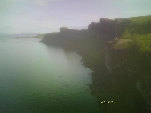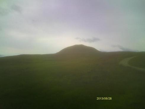
West Lomond, the highest hill in the county of Fife
|
Firth of Forth from the summit of West Lomond.
With better visibility, Edinburg would be visible on its far side. |
|
West Lomond, the highest hill in the county of Fife
|
Firth of Forth from the summit of West Lomond.
With better visibility, Edinburg would be visible on its far side. |
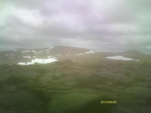
Ben Macdui from the slopes of Cairngorm Mountain
|
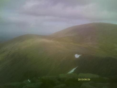
Cairngorn Mountain from the summit of Ben Macdui
|
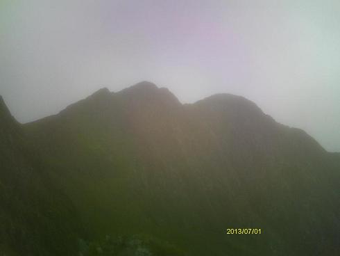
View of Y Llewedd, a subpeak of Snowdon, from the Miner's Path route.
Llewedd is pronounced "HLEW-edth". |
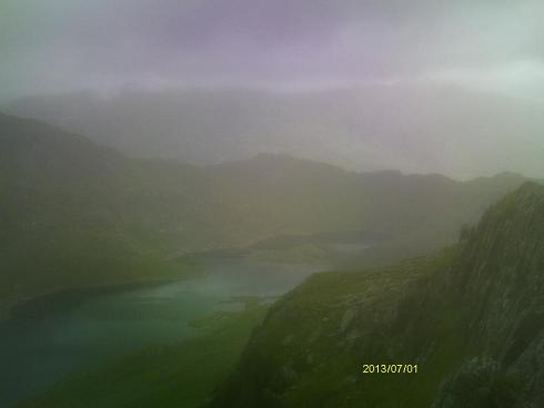
View of Llyn Llydaw from near the summit of Y Llewedd
|
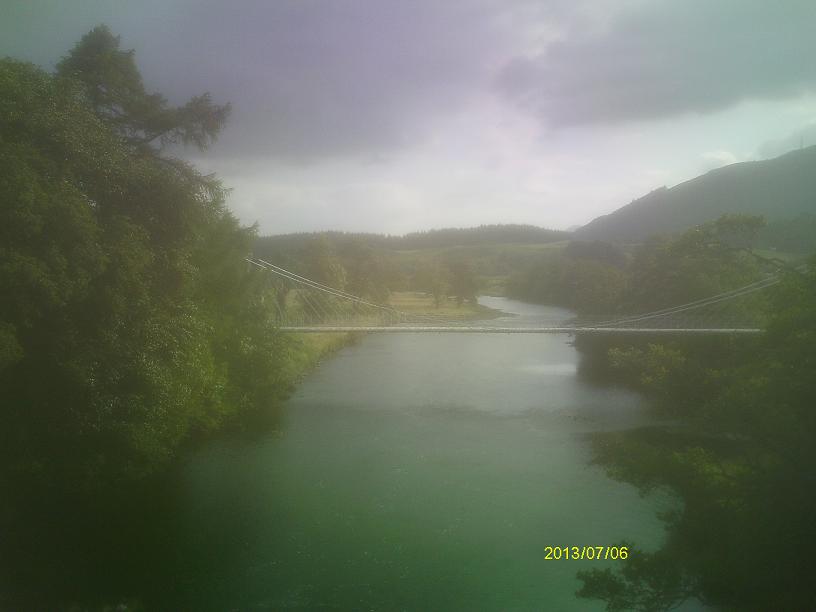
Swing bridge near Laggan locks
|
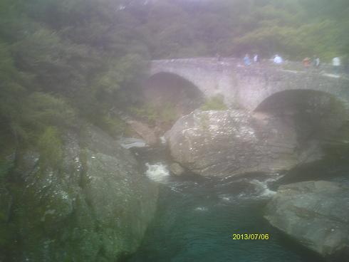
Old carriage bridge near Invermoriston
|
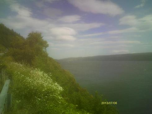
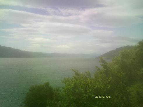
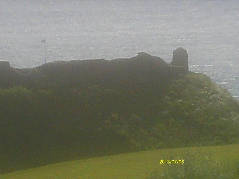
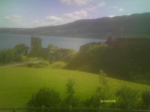
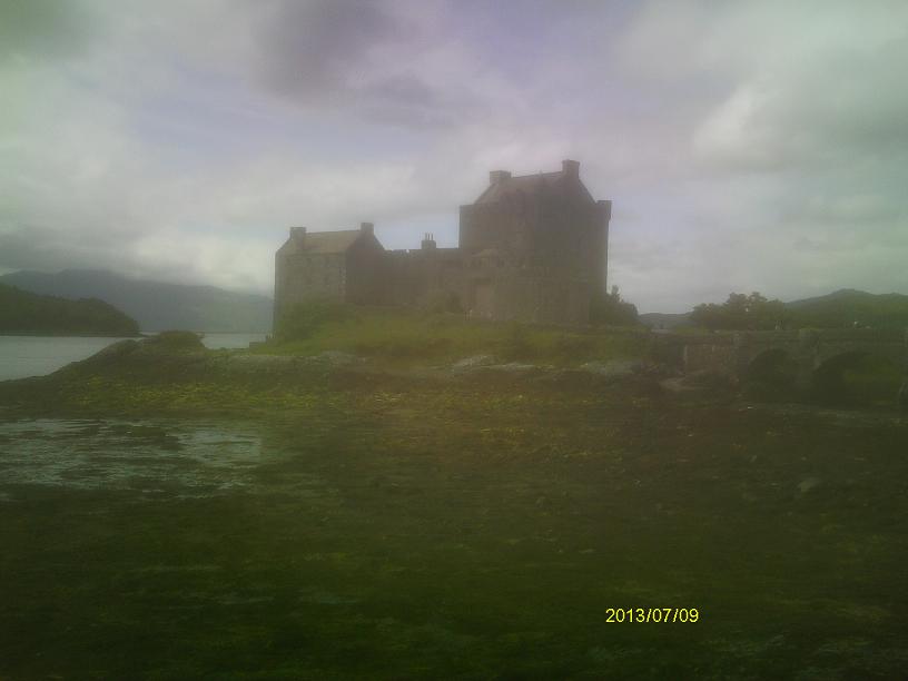
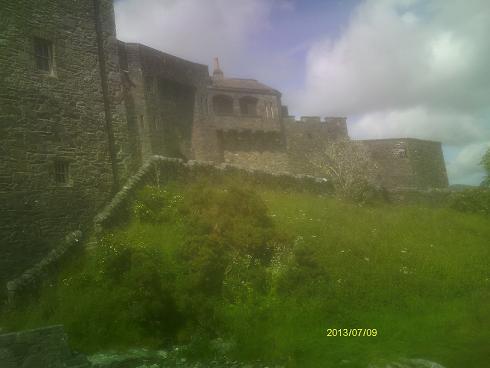
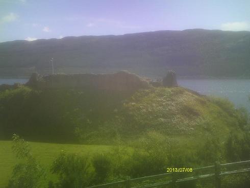
Urquhart Castle
|
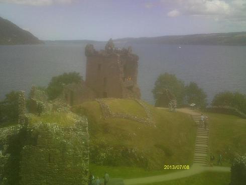
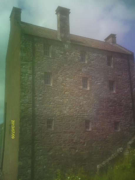
Grant Tower
|
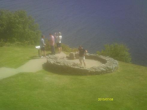
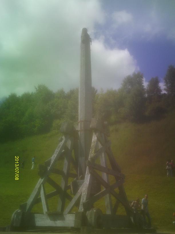
The Sentinel
|
The Doocot, or Pigeon House. A close view of the inside wall shows
an array of "pigeon holes" between the stones.
|
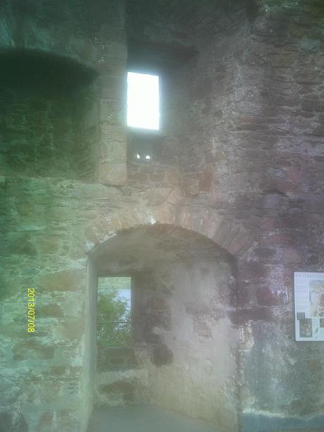
Interior of the remains of Grant Tower
|
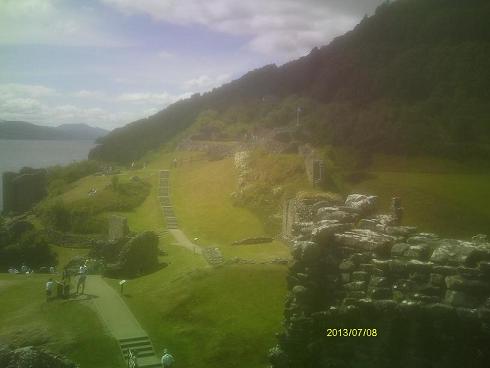
View of the castle from the top of Grant Tower
|
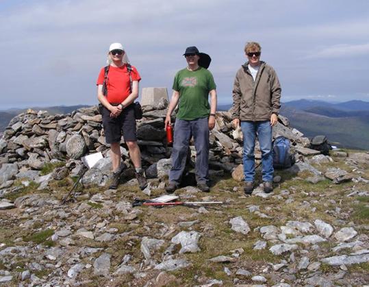
Mark Trengrove, Andrew Tompkins, and myself on the summit of Carn Eige.
Photo by Jonathan de Ferranti. |
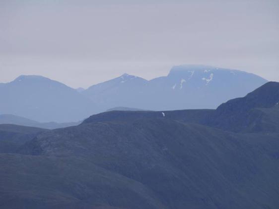
Ben Nevis from Carn Eige.
Photo by Jonathan de Ferranti. |